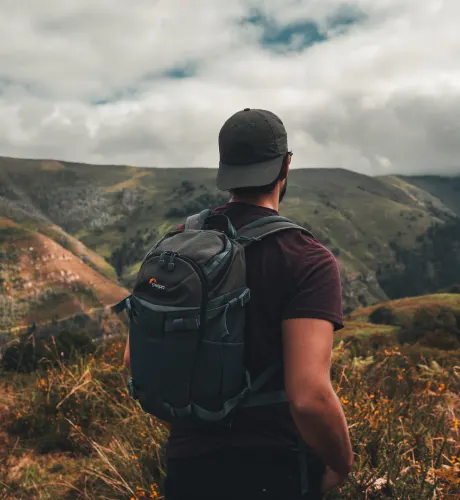
Hiking in the Canary islands
Here's our guide to the best hiking trails.
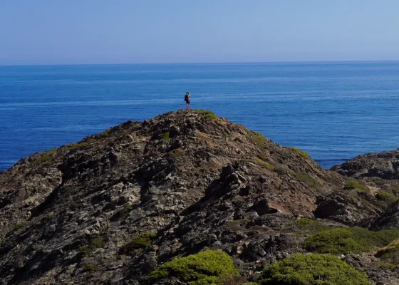
A view to a thrill
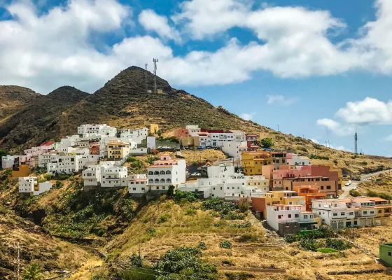
Valle de Agaete

They say ”no pain, no gain” which is a perfect way to describe the hike up to the top of the Era de Berbique on the 10km-long Valle de Agaete trail. The dramatic cliffside drops, deep ravines and breathtaking views both over the mountainous region inland and out to sea make all the effort worthwhile though. From the plateau the 4.5 hour walk gradually leads you down to the pretty village of Agaete and you can reward yourself for all that effort with a meal at one of the seafood restaurants dotted around the port.
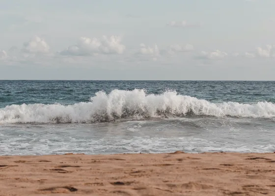
The hidden gem
Playa Guigui
Deserted remote beaches may not be the first thing you associate with Gran Canaria, but if you’re after a hike out of the ordinary, head for Playa Guigui (also called Playa de Güigüí) on the west coast of the island. Only accessible by boat or on foot, you can choose to reach this beautiful hidden gem by way of a shorter three-hour round trip walk from the town of Tasartico, or for those in search of a challenge, then start at La Aldea de San Nicolás. In both cases the views are wonderful and what better way to treat yourself than taking a dip in the crystal blue waters?
Ready to rock!
Roque Nublo
Considered to be one of the biggest natural crags in the world, Roque Nublo in the municipality of Tejeda is an 80m-high piece of volcanic rock jutting out some 1,813m above sea level. The third highest peak on the island, the area around the rock was declared a national park in 1987. There is choice of trails you can take, the shortest at just 1.5km, but it’s worth following the 5km long hike that winds around the park taking in the Las Niñas, Chira and Soria dams and the quaint towns of Artenara and Acusa. And see whether you agree with the much-held belief that the small rock next to Nublo looks like a frog!
Go green to the beach
Taganana – Tamadite
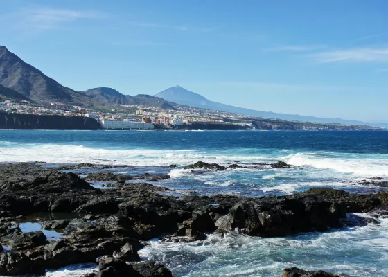
Tenerife
If plant life is your thing, you’ll love this moderate difficulty trail near Santa Cruz de Tenerife in one of the wildest and greenest parts of the island. The 9.3km route brings you down from the Taganana mountain and ends at the picturesque Tamadite Beach and along it you will come across an array of beautiful wildflowers, vineyards and great views over the cliffs, the sea and the surrounding mountains. To make the most of the views try to do this walk in the morning.
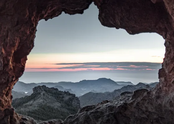
Head in the clouds
Punta del Hidalgo – Chinamada
Tenerife
Like many of the best hikes around the Canary Islands the further up you climb the greater are the views you will be rewarded with. This is certainly the case with the trail from Punta del Hidalgo to Chinamada in Tenerife. You start on the coast in Punta del Hidalgo and gradually climb up, enjoying views of the surrounding mountains and plunging coastal cliffs as you hike above the Barranco del Rio. Finally, you reach Chinamada, a small cave village where one or two people still inhabit the dwellings carved into the rock. The whole area around Chinamada is included in the protected Anaga Nature Park.
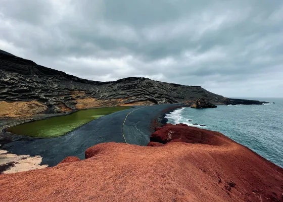
A lagoon out of the ordinary
El Golfo – Charco de los Clicos
Lanzarote
Famed for its ”other-worldly” appearance, Lanzarote has something for all walkers, although the most popular trails usually cover volcano craters and/or coastal caves. If you’re fascinated by volcanos and favor a medium-to-tough hike, the 10.6km stretch from El Golfo to Charco de los Clicos should fit the bill nicely. One of the islands most popular – and beautiful – trails, you will follow actual lava flows as you gap at the awesome landscape. Perhaps even more surreal is the endpoint, Charco de los Clicos, where the crater of a dormant volcano drops to the sea forming a lagoon, who’s piercing color formed by algae contrasts starkly with the blackness around it.
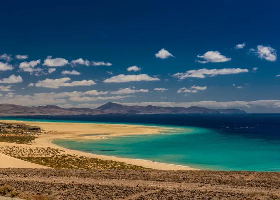
The long and winding road
GR131
Fuerteventura
Measuring some 160km over nine stages, the GR131 is the longest trail of the Canary Islands. On Fuerteventura you start at Isla de Lobos in the north of the island before making your way across to Corralejo and then heading south. Along the way you’ll climb high, discover lunar-like landscapes and lush valleys, traverse across busy tourist regions and feel like you’re in the desert. Each day brings new wonders and signs along the way tell you all about the terrain, the history of the region and its fauna. Should you wish, you can follow the GR131 right the way across the archipelago of islands.
Text by Geoff Mortimore